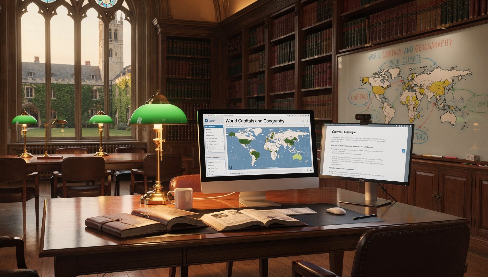
World Capitals and Geography
The World Capitals and Geography course builds practical geographic literacy covering all world regions and their countries and capitals, major physical features, climate zones, population centers, megacities, cultural geography, and world economies—giving learners the spatial understanding to make sense of global news, travel, and current events.
Who Should Take This
It is ideal for students preparing for geography exams or citizenship tests, professionals who work in global contexts, and curious learners who want to finally know where every country is and what makes each region distinct. No prior geography knowledge is required; learners will leave with a confident mental map of the entire world.
What's Included in AccelaStudy® AI
Adaptive Knowledge Graph
Practice Questions
Lesson Modules
Console Simulator Labs
Exam Tips & Strategy
13 Activity Formats
Course Outline
1Geographic Foundations 7 topics
Describe the seven continents, their approximate sizes from largest to smallest, their location relative to the equator and prime meridian, and the ocean bodies that border each continent
Apply latitude and longitude to locate any place on Earth, explain the significance of the equator, tropics, Arctic and Antarctic circles, the prime meridian, and the International Date Line, and use these to determine a location's approximate climate
Describe major ocean bodies and their positions, including the Pacific, Atlantic, Indian, Arctic, and Southern Oceans, and identify the major seas (Mediterranean, Caribbean, Red Sea, South China Sea, Arabian Sea) and their geographic context
Apply map reading skills including interpreting map keys and legends, understanding scale, distinguishing physical from political maps, recognizing different map projections (Mercator, Robinson, Peters) and their distortions
Identify the major world time zones, explain the concept of UTC offset, name the countries or regions in each major zone, and calculate time differences between major global cities such as New York, London, Dubai, Mumbai, Tokyo, and Sydney
Identify the world's major straits, channels, and isthmuses including the Strait of Gibraltar, Strait of Hormuz, Bering Strait, English Channel, Isthmus of Panama, and Suez land bridge, and describe the geographic importance of each
Apply knowledge of geographic sub-regions to correctly classify whether Russia, Turkey, Egypt, Kazakhstan, and Georgia belong in Europe, Asia, the Middle East, or span multiple continents, explaining the conventional and alternative classifications
2Africa 7 topics
Identify the five regions of Africa (North, West, East, Central, Southern), name at least five countries and their capitals in each region, and locate the continent's most populous countries (Nigeria, Ethiopia, Egypt, DRC, Tanzania)
Identify Africa's major physical features including the Sahara Desert, Nile and Congo Rivers, Rift Valley, Atlas Mountains, Kilimanjaro, and Kalahari Desert, and describe how each shapes climate and human settlement patterns
Identify Africa's landlocked countries (15 total including Ethiopia, Uganda, Rwanda, Mali, Niger, Zambia, Zimbabwe, Botswana) and explain the economic and strategic implications of lacking direct sea access
Identify African island nations and territories (Madagascar, Seychelles, Comoros, Mauritius, Cape Verde, São Tomé and Príncipe) and distinguish them from mainland nations, including their capitals and ocean location
Apply regional geography knowledge to explain Africa's cultural diversity, including the Arabic-majority north versus sub-Saharan Africa, major colonial language legacies (French, English, Portuguese, Arabic), and the Great Rift Valley's role in early human origins
Apply knowledge of African geography to explain the economic significance of major shipping routes around Africa including the Cape of Good Hope route, the strategic importance of the Suez Canal for African trade, and major African ports
Identify the most recently formed African nations and border changes since 1990, including the independence of Eritrea from Ethiopia in 1993, South Sudan from Sudan in 2011, and explain the circumstances of each separation
3The Americas 7 topics
Identify all countries in North and Central America including Mexico, Canada, and the seven Central American nations, name each capital, and describe the physical geography connecting them (Rocky Mountains, Sierra Madre, Central American isthmus)
Identify all Caribbean island nations and major territories (Cuba, Haiti, Dominican Republic, Jamaica, Trinidad and Tobago, Barbados, Bahamas, Puerto Rico as US territory, US Virgin Islands, Cayman Islands, Aruba) and name each sovereign nation's capital
Identify all 12 South American nations with their capitals, recognize the continent's major physical features (Amazon River and basin, Andes Mountains, Patagonia, Atacama Desert, Orinoco River, Pantanal wetland), and identify South America's landlocked nations (Bolivia, Paraguay)
Apply cultural geography knowledge to explain the distinction between Latin America and the Anglo-American north, the prevalence of Spanish and Portuguese as colonial languages, and why Brazil has a different colonial heritage from its neighbors
Identify the Americas' most populous cities beyond national capitals, including São Paulo, Los Angeles, Chicago, Toronto, Buenos Aires, Lima, and Bogotá, and explain why major population centers developed in their specific geographic locations
Identify the major river systems and geographic features of North America beyond the Mississippi, including the Great Lakes (Superior, Michigan, Huron, Erie, Ontario), the Colorado River, Rio Grande, and the Appalachian and Rocky Mountain ranges
Apply geographic knowledge to identify US territories and commonwealths (Puerto Rico, Guam, US Virgin Islands, American Samoa, Northern Mariana Islands) and explain their unique political status distinct from states and from sovereign nations
4Europe 5 topics
Identify all 44 European countries and their capitals, organized by sub-region (Western, Northern, Southern, Eastern, and Southeastern Europe), and locate each on a mental map relative to major geographic landmarks
Identify Europe's major physical features including the Alps and their highest peak (Mont Blanc), Rhine, Danube, and Volga Rivers, Scandinavian Peninsula, Iberian Peninsula, Italian Peninsula, and the Baltic, North, and Adriatic Seas
Identify Europe's microstates (Vatican City, Monaco, Liechtenstein, San Marino, Andorra, Malta, Luxembourg) and explain how each maintains sovereignty despite their small size, including what each is known for
Apply knowledge of European geography to identify recent political changes, including states that emerged after the Soviet Union's dissolution in 1991 (Baltic states, Moldova, Ukraine, Belarus, Caucasus nations) and post-Yugoslav states
Analyze the geographic rationale for European Union membership patterns, explaining why some European nations are EU members (Germany, France, Poland), some are European but not EU members (Norway, Switzerland, UK post-Brexit), and some are candidates
5Asia 6 topics
Identify all countries in East Asia (China, Japan, South Korea, North Korea, Mongolia, Taiwan), Southeast Asia (11 ASEAN nations plus Timor-Leste), and their capitals, and describe the major physical features of each sub-region
Identify all countries in South Asia (Afghanistan, Pakistan, India, Nepal, Bhutan, Bangladesh, Sri Lanka, Maldives) and Central Asia (the five 'stan' nations), name each capital, and describe the Himalayan mountain range as the dominant physical feature
Identify all countries in the Middle East and Levant (Turkey, Syria, Lebanon, Israel, Palestine, Jordan, Iraq, Iran, Saudi Arabia, Yemen, Oman, UAE, Qatar, Bahrain, Kuwait, Cyprus), name each capital, and describe the region's oil geography
Identify Asia's major physical features including the Himalayas and Mount Everest, Yangtze and Yellow Rivers, Mekong River, Gobi Desert, Tibetan Plateau, Siberian tundra, and the island chains of Japan, Indonesia, and the Philippines
Apply geographic knowledge of Asia to explain population concentration patterns, identifying why the Ganges Plain, Yangtze Delta, and Java are among the world's most densely populated regions while Central Asia and Siberia are sparsely settled
Analyze the geopolitical significance of contested territories and special status regions in Asia, including Taiwan's relationship with China, the Korean DMZ, Kashmir's India-Pakistan dispute, and the South China Sea maritime claims
6Oceania 4 topics
Identify Australia, New Zealand, Papua New Guinea, and the three Pacific sub-regions (Melanesia, Micronesia, Polynesia) and name the sovereign nations and their capitals within each, distinguishing sovereign states from US territories and French overseas collectivities
Identify the major island nations of the Pacific including Fiji, Samoa, Tonga, Vanuatu, Solomon Islands, Kiribati, Nauru, Palau, Marshall Islands, Federated States of Micronesia, and Tuvalu, and describe the climate vulnerability facing low-lying Pacific nations
Apply knowledge of Oceania's geography to explain the geographic isolation that shapes the region's ecology, Indigenous cultures, and economic relationships, and why Australia and New Zealand have such strong ties to Asia-Pacific trade
Analyze the climate change vulnerability of Pacific island nations, identifying which nations face existential risk from sea level rise, explaining which are already relocating populations, and naming the specific geographic characteristics that make them most vulnerable
7Major Physical Features 7 topics
Identify the world's major mountain ranges, their continents, and highest peaks: Himalayas (Everest), Andes (Aconcagua), Rockies (Denali in the North American system), Alps (Mont Blanc), Kilimanjaro (Africa), Urals (Europe-Asia boundary), and Caucasus (Elbrus)
Identify the world's longest rivers by continent, including the Nile and Congo (Africa), Amazon and Mississippi-Missouri (Americas), Yangtze and Ob-Irtysh (Asia), Volga and Rhine-Danube (Europe), and describe the regions they drain
Identify the world's major deserts, their locations, and approximate sizes: Sahara, Arabian, Gobi, Karakum, Atacama, Patagonian, Great Victoria, Kalahari, Great Basin, and Antarctic Desert (the world's largest), distinguishing hot from cold deserts
Apply knowledge of climate zones (tropical, subtropical, temperate, continental, polar, arid, Mediterranean) to predict likely vegetation, temperature ranges, and precipitation patterns for a given location based on its latitude and proximity to oceans
Identify the world's major lakes (Caspian Sea, Superior, Victoria, Baikal, Tanganyika, Huron, Michigan, Titicaca) and explain whether each is technically a sea, freshwater or saltwater, and why some (like Baikal) hold extraordinary ecological importance
Identify the world's major island groups and archipelagos including the Indonesian archipelago (world's largest by island count), the Philippines, Japan's four main islands, the British Isles, and the Caribbean island arcs, and describe how island geography shapes cultural and political development
Apply knowledge of the Ring of Fire to identify which Pacific Rim nations face elevated earthquake and volcanic risk, including Japan, Indonesia, the Philippines, Chile, Mexico, and the western United States, and explain the tectonic mechanism behind it
8Population and Cities 5 topics
Identify the world's ten most populous nations in order (China, India, USA, Indonesia, Pakistan, Brazil, Nigeria, Bangladesh, Russia, Ethiopia) and describe where each ranks in terms of land area, showing how population density varies enormously
Identify the world's megacities (urban areas with over 10 million people) including Tokyo, Delhi, Shanghai, São Paulo, Mexico City, Cairo, Mumbai, Beijing, Dhaka, Osaka, and New York, and locate each in its correct country and region
Apply geographic reasoning to explain why some of the world's most populous cities are not their nation's capital, including examples such as São Paulo (Brazil), Mumbai (India), Shanghai (China), and Sydney (Australia)
Describe the world's most sparsely populated regions (Siberia, Sahara, Greenland, Amazon basin, Australian outback) and explain the geographic factors—climate, terrain, resources—that limit human settlement in each
Analyze the relationship between geography and economic development, explaining why coastal and river-connected locations historically become major economic centers and why landlocked nations often face structural economic disadvantages
9World Economies and Resources at a Glance 7 topics
Identify the world's ten largest economies by GDP (USA, China, Germany, Japan, India, UK, France, Italy, Canada, Brazil) and describe the geographic and resource factors that contributed to each nation's economic size
Identify the world's major petroleum-exporting nations and regions (Persian Gulf states including Saudi Arabia, UAE, Kuwait, Iraq, Iran; Russia; Nigeria; Venezuela; Canada's oil sands) and explain why oil geography shapes geopolitical relationships
Identify major emerging market economies (BRICS nations: Brazil, Russia, India, China, South Africa, plus newer members) and describe what geographic and demographic factors position each as an emerging economic power
Apply geographic knowledge to identify the world's major trading corridors and chokepoints, including the Strait of Hormuz, Strait of Malacca, Suez Canal, Panama Canal, and Strait of Gibraltar, and explain the economic consequence of disruption at each
Analyze how geographic factors (natural resources, coastline access, arable land, climate) explain patterns of global inequality, comparing resource-rich but underdeveloped regions with resource-poor but highly developed nations like Japan or Singapore
Identify the major global agricultural regions and their primary export crops, including the US Corn Belt (maize, soy), the Brazilian Cerrado (soy, beef), the Gangetic Plain (rice, wheat), the Pampas (beef, grain), and explain how geography and climate enable each region's productivity
Apply geographic reasoning to explain why Singapore, Hong Kong, Bahrain, and Dubai became major global financial and trading hubs despite having limited natural resources, citing their strategic geographic positions, port access, and political stability
10Cultural Geography 5 topics
Identify the world's most widely spoken languages by number of speakers and geographic distribution, including Mandarin, Spanish, English, Hindi, Arabic, Bengali, Portuguese, Russian, and French, and map where each is an official language
Describe the geographic distribution of the world's major religions—Christianity, Islam, Hinduism, Buddhism, Judaism, and Sikhism—identifying the regions and nations where each has the largest number of adherents
Apply cultural geography to explain why certain regions share linguistic and religious heritage due to historical colonization, trade routes, or religious expansion, including the Arabic-speaking Islamic crescent, Latin America's Spanish Catholic tradition, and Southeast Asia's Buddhist heritage
Identify notable recent geopolitical changes in the world map including South Sudan's independence in 2011, Kosovo's declaration in 2008, the dissolution of Czechoslovakia into Czech Republic and Slovakia in 1993, and German reunification in 1990
Analyze how colonial borders drawn in Africa and the Middle East created nations with arbitrary boundaries that cut across ethnic, linguistic, and tribal lines, and explain how this legacy contributes to contemporary regional conflicts
Scope
Included Topics
- Continental geography overview; countries and capitals by region (Africa, the Americas, Asia, Europe, Oceania); sovereign nations versus territories and dependencies; major physical features (mountain ranges, rivers, deserts, oceans, seas, lakes); climate zones and biomes; time zones; major world cities beyond national capitals; landlocked and island nations; notable recent border changes and newly recognized states; cultural geography basics (language families, major religions by region); reading maps (latitude, longitude, cardinal directions, map projections, scale); population centers and megacities; world economies at a glance (GDP leaders, emerging markets, oil exporters)
Not Covered
- Detailed cartographic projections theory and mathematical geodesy
- Economic development theory and international development aid policy
- Detailed military geography and strategic geography
- Geological history and plate tectonics theory in depth
- Country-level internal administrative divisions (provinces, states, counties)
Ready to master World Capitals and Geography?
Adaptive learning that maps your knowledge and closes your gaps.
Enroll